Travel

A map to your next retreat

CAA maps and guides provide details on a destination to help make your trip planning easy, like scenic routes, time and distance charts, time zones, travel tips, bridge and ferry information, inset city maps, and border crossing details. 

Find a store

Portrait of a young woman in a car looking at a map for directions.
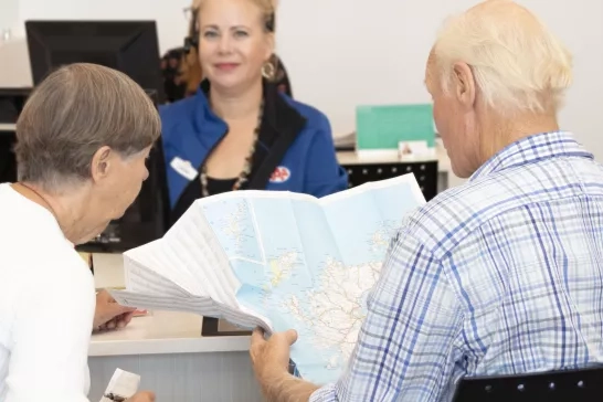
Couple browsing a map at a CAA Travel store

Maps and guides

Whether your plans are taking you near or far, CAA Travel provides the tools you need to get to where you’re going. CAA maps and guides are available at CAA Stores in six different formats.
Woman travelling with her pet dog

Travelling with your pet

Bringing your four-legged family members on your next trip? Find pet-friendly hotels, restaurants, attractions, and more with AAA’s Travelling with Your Pet!
A couple sitting on a couch looking at a laptop

AAA Travel Guides

Whether you’re planning to visit popular U.S. travel destinations, explore national parks, sightsee in Europe or bask on a Caribbean beach, travel guides from AAA provide expert insight about where to go, how to get around, what to do and see, and what not to miss.

Maps and guide formats

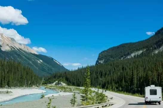
RV driving down a scenic road in Banff National Park, Alberta

North American regional series

These maps show sections of the US and Canada and include main routes, cities, national parks and monuments, mountain areas and time zone boundaries.
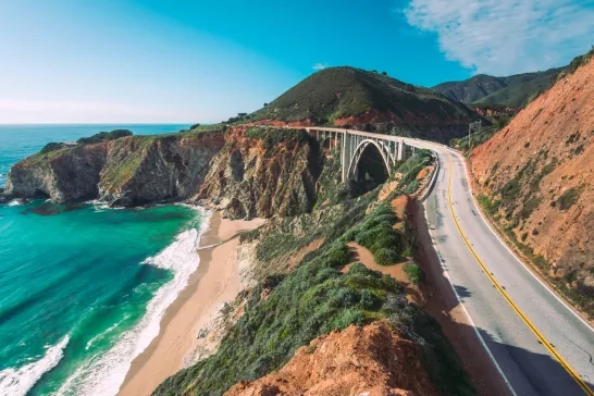
Cars drive on the Pacific Coast Highway at Big Sur in California, USA

State and provincial series

Detailed state and provincial maps typically used for shorter trips within one state or province, plus information on highway toll facilities and scenic routes.
Don Valley Park and Lower Don River Trail, Toronto, Canada.

Vicinity series

Urban areas mapped with approach routes and thoroughfares with inset maps of popular neighbourhoods and areas.
Beautiful panorama view of cruise ship passing famous Golden Gate Bridge with the skyline of San Francisco in the background in beautiful golden evening light at sunset in summer, California, USA

City series

Detailed maps of cities with fully indexed street level detail showing local parks, schools, colleges, golf courses, malls etc. We offer a wide selection of city maps for our most common requested destinations.
Sea to Sky Highway (Highway 99) from Vancouver to Whistler in British Columbia, Canada

Country series

Large sheet maps with main routes covering Canada and USA. These maps feature capital city inset maps, land air and sea charts and border crossing information.
Palm Tree-Lined Street Overlooking Los Angeles at Sunset

International series

These maps cover main routes. CAA signature features are listed - see legend. Affiliated Club contact info listed and Inset maps of common tourist locations.

Have questions? Contact a travel expert

If you need help planning your next trip, book an appointment with a CAA Travel Consultant or call today.

Book an appointment    1-800-705-1803